How insights from the United States are improving our understanding of mineral systems.
Fuelled by the desire to better understand our state’s geology through working with world-class geophysicists and to enhance the Geological Survey of South Australia’s magnetotelluric (MT) skill set, Dr Kate Robertson spent 11 weeks in the United States.
The Geological Survey is using MT data to build a 3D image of the electrical resistivity distribution of the crust and mantle – ie roughly the top 200 km below the surface. The goal is to produce new and improved electrical resistivity models of the state, and ultimately, an improved understanding of the mineral systems in South Australia.
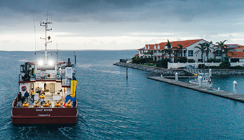
At the Scripps Institution of Oceanography, San Diego, Kate joined Professor Steven Constable and the marine electromagnetics team to interpret marine MT data recently acquired across the Spencer Gulf off South Australia (Fig. 1). The collaborative project aims to better delineate the southern extent of the eastern edge of the Gawler Craton, observed through anomalous conductivities in Australian Lithospheric Architecture Magnetotelluric Project (AusLAMP) models and previous MT surveys in the prospective Olympic Domain further north.

Figure 1 ‘Salt River’ research vessel used to record marine MT data across the Spencer Gulf in November 2019. The University of Adelaide leads this collaborative project with the Geological Survey, Geoscience Australia, AuScope and the Scripps Institution of Oceanography. (Courtesy of Robert Lang Photography)
In New York, Associate Professor Kerry Key and the electromagnetic geophysics team at the Lamont Doherty Earth Observatory, Columbia University, enthusiastically shared their extensive knowledge and resources. Kate spent eight weeks applying cutting-edge Mare3DEM electromagnetic inversion software to South Australian MT data. This software represents an advance in modelling capabilities of MT data, offering the ability to model land and marine data simultaneously in 3D, and to model a complex property of the earth’s electrical conductivity, anisotropy.
Excitingly, this work can now be continued in Australia following installation of new software at the National Computational Infrastructure facility in Canberra. Along with an updated version of the 2D software, Mare2DEM, our capability for producing accurate models of the subsurface (down to several hundred kilometres), has increased substantially. The Geological Survey’s first application of this software will be on the Olympic Domain MT survey, with plans to have these available for Discovery Day 2020.
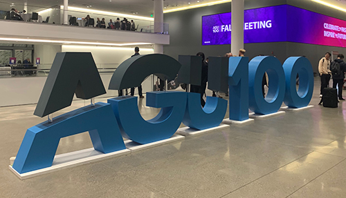
Kate also took the opportunity when in the United States to showcase our prospectivity at the American Geophysical Union Fall Workshop with a presentation on electrical resistivity models of the Delamerian Orogen that were developed with Geoscience Australia and the Geological Survey of New South Wales (Fig. 2). Produced to better understand the resistivity structure in one of the Geological Survey’s focus regions for the MinEx CRC’s National Drilling Initiative, the models will be further refined following a higher resolution broadband MT survey planned in the region in the third quarter of 2020.

Figure 2 The annual American Geophysical Union Fall Workshop in San Francisco attracts over 20,000 international geo- and astro-scientists. With over 20 concurrent sessions at any point, there is no shortage of talks, posters and networking opportunities.
– Kate Robertson, July 2020
This trip was supported by a prestigious early-career travel grant from the Australian Geoscience Council and by the Department for Energy and Mining.


