
Historic photos
Photos from when the mine was operating and shortly after closure. They show the large lake of acid water and barren landscape left from mining activities.
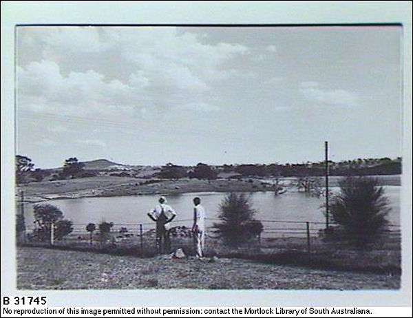
Acid lake 1974
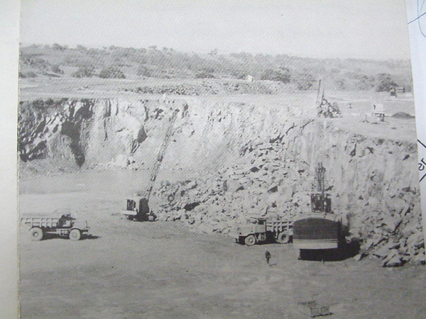
Quarry 1955
Metallurgical plant
Where the minerals were processed during mining. This area has since been demolished and rehabilitated with native vegetation.
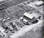
Metallurgical plant
Tailings storage facility
In the early days of rehabilitation, the acid water from the tailings storage facility was pumped and treated at the lime neutralisation plant. Once this acid water was removed the site was revegetated with native plants. The original trees are now mature and a substantial soil cover has developed.
Gypsum sludge ponds
The underflow (sludge) from the plant is a chemical precipitate of gypsum (CaSO4.2H2O, hydrated calcium sulphate). The pulp produced is pumped to the sludge ponds for further dewatering by evaporation. Each summer, the sludge is removed from the ponds to establish a void for holding the coming year's production of precipitate. The excavated sludge is carted to the main quarry bench where it is stacked and used as a clay-soil cover on the exposed rock. Trees and shrubs planted directly into the heaped sludge (June 1999) continue to show exceptional growth.
Acid ponds
The tailings storage facility was constructed in a valley and naturally collects water from the surroundings. As a result, a small volume of acid water seeps through the lower end of the ‘historic valley’ and picks up AMD as it flows through. This water is collected in ponds and pumped to the treatment plant for neutralising.
Wells and pumps
There are numerous pumps near Dawesley Creek which pump acid water to the treatment plant.
Temporal and spatial water quality monitoring
The determination of annual and seasonal loads of various chemical contaminants carried by Dawesley Creek is achieved by the continual logging of creek flow and the collection of flow-rate proportional composite samples at two hydrometric stations located above and below the mine site. Composite water samples are collected fortnightly for assay and the results are tabulated together with flow data.
Biological monitoring
Biological monitoring in the Dawesley Creek–Bremer River system commenced in September 1996 with the selection of six monitoring sites. A control is located upstream and five are downstream of the Brukunga mine site. Stream sampling is performed on a quarterly basis for the Department of State Development by a biologist from the Australian Water Quality Centre (AWQC).
University and school students
The Brukunga mine site has been highly used as an educational resource to School, TAFE and University students around the state.