
Extensive databases of energy resources information are held by Department for Energy and Mining (DEM) and data are readily available and accessible to the public and private sector in digital format. All basic (non-interpretive) technical data obtained by a licensee in an exploration licence are required to be submitted to DEM as part of licence commitments.

Policies and guidelines, submission of digital data, submission of cores and cuttings, GDA 2020
Field seismic data, processed seismic data, workstation-ready seismic data, checkshot database, other geophysical data, offshore seismic data
Basin data compilations and interpretations
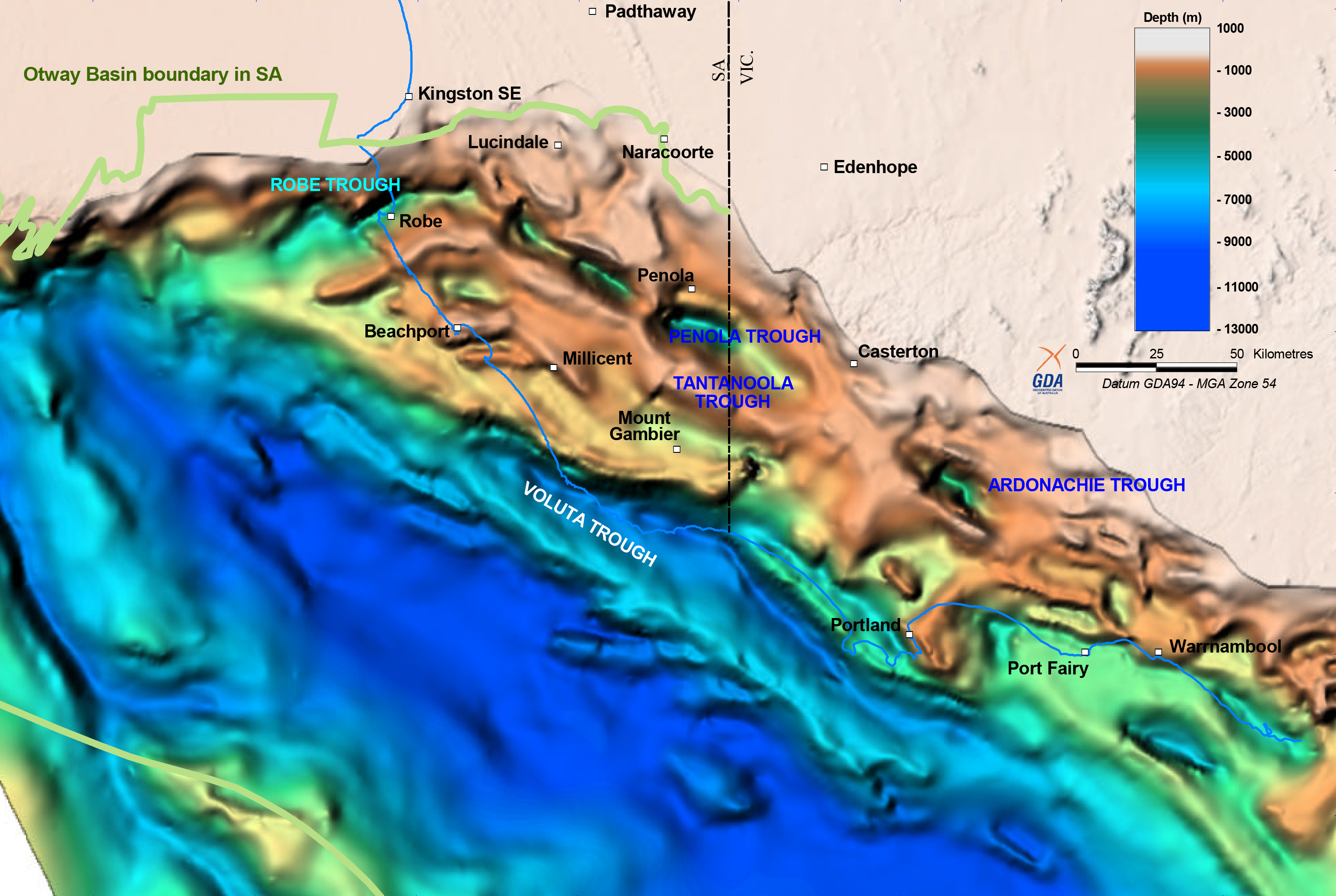
Basin-in-a-box, Cooper and Otway Basin 3D models and data packages, SEEBASE, Maps and spatial data
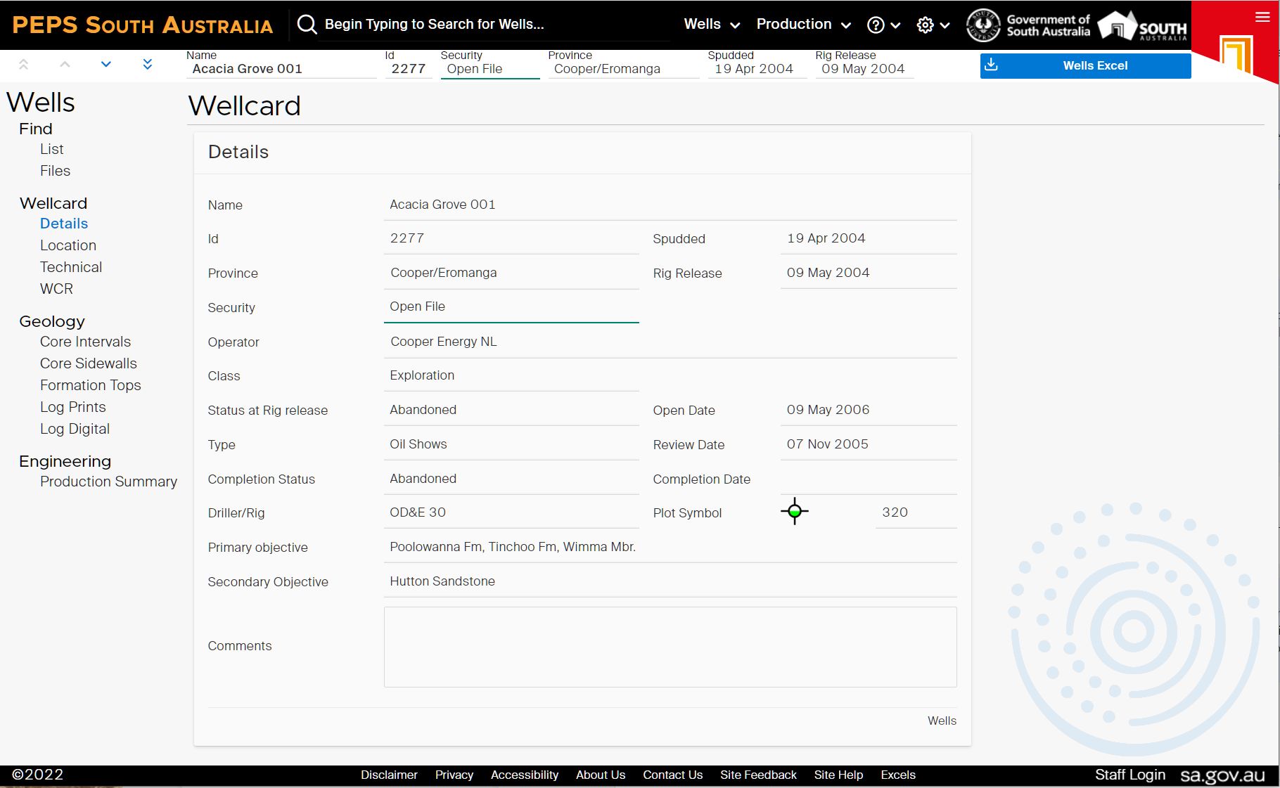
PEPS South Australia, SARIG, Core Energy Group EnergyView, National databases, API-searchable data
Publications and presentations
Petroleum Geology of SA series, Geology of SA, regulatory and compliance reports, presentations, conference posters, MESAJournal
Reservoir Stimulation and Microseismicity, Thermal Conductivity and Heat Flow, geophysical data
Oil and gas production summary and other key statistics, history of petroleum production
Introduction
South Australia’s Energy Resources Act 2000 and Regulations stipulate that licence operators must submit critical data to the Department for archiving and ultimate public release. Licencees are required to submit digital copies of datasets acquired or generated during their tenure including:
- Well completion reports
- Well logs
- Core and fluid analysis
- Production data
- Seismic acquisition and processing reports
- Processed seismic data
- Survey data
- Field and processed seismic tapes
Submitted data are verified, catalogued and archived by DEM in industry-standard digital formats. The data is initially kept confidential then, once legislated periods of time have passed since data acquisition, basic geological, geophysical and engineering data are made publicly available. Production data are released after 6 months while geoscience data and reports (such as well logs, seismic data etc.) are made available after a 2 year confidentiality period. DEM aims to provide easy and, where reasonably possible, free access to open-file petroleum data in industry-standard formats.
Converting the vast body of legacy upstream onshore petroleum data on paper and sepia into digital formats commenced under the South Australian Exploration Initiative in the early 1990s and is ongoing. South Australia was the first Australian jurisdiction to run exploration initiatives and the first to focus strongly on converting important legacy data to digital formats. When this project commenced the internet was not being widely used and data was both submitted by industry and provided to customers on paper, sepia and tapes, then CDs and DVDs. In modern times, industry is required to lodge data in industry-standard digital formats.
Effort continues to provide more and more data via free download as the internet has expanded and available bandwidth has steadily increased, with Cloud storage providing even more options to deliver new data products. South Australia offers petroleum explorers and producers an extensive range of open-file onshore petroleum data through multiple different channels:
- PEPS South Australia is now a new web based system containing a wide range of technical data relevant to the petroleum and geothermal industries. The legacy database is also available (PEPS-SA).
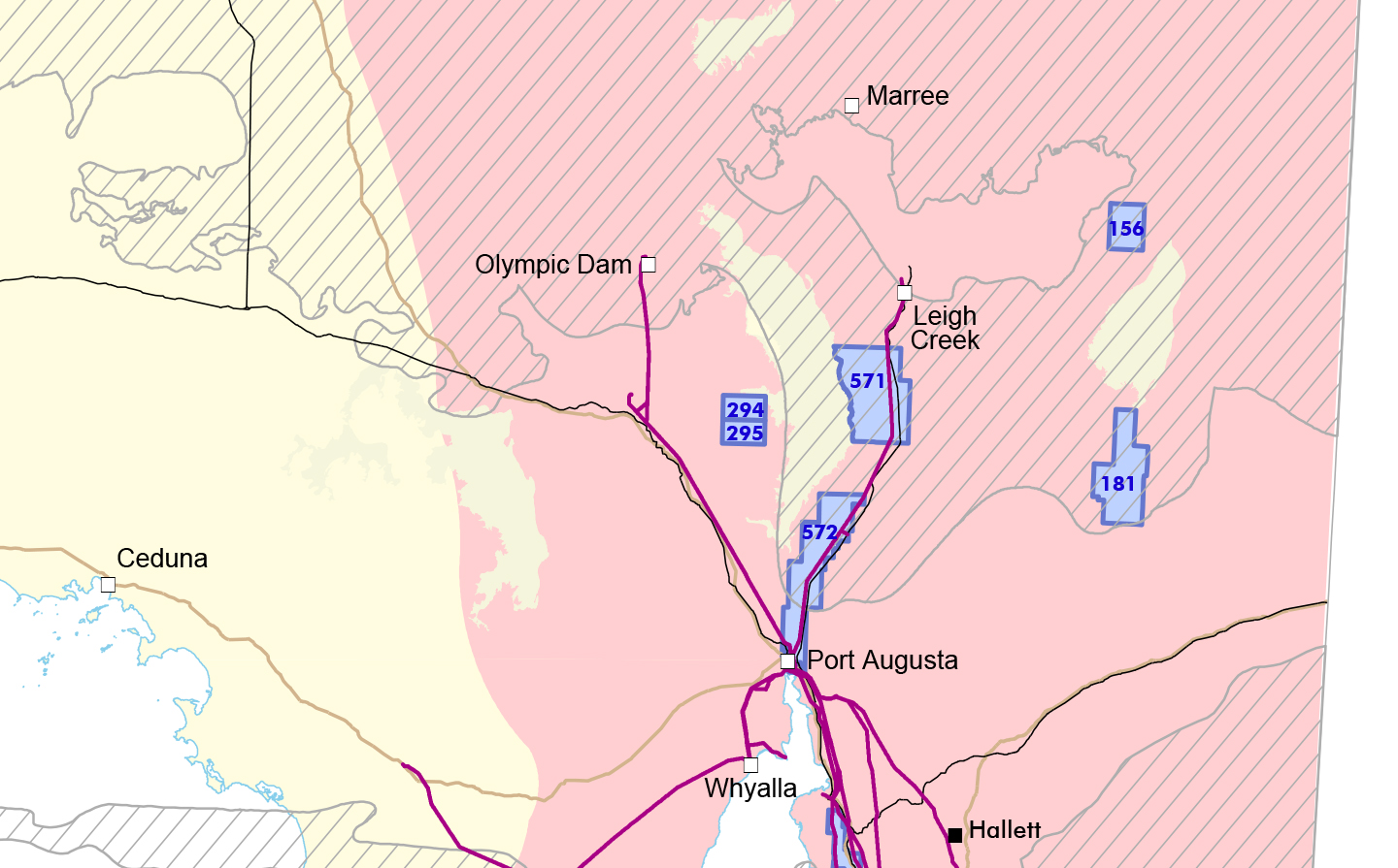
- Online data sets including tenement data, spatial geotechnical data and ancillary data such as topography.
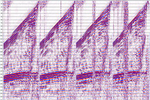
- Seismic data including a comprehensive digital data set of shotpoint locations and associated attribute data, section databases, an uphole database, field seismic data, survey reports and maps.
- Seismic mapping products of key horizons in selected provinces.
- Workstation ready segy data sets for selected provinces.
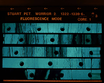
- Drilling data covering well completion reports, well log database, core photos and thin sections.
- Production data.
- Basin-in-a-Box datasets for frontier basins containing a complete well and seismic data package for each basin in a single, downloadable zip-file.
A spatial database, SARIG, is available on the website to search, view and download selected mineral and petroleum spatial, geotechnical and related data sets including tenements.