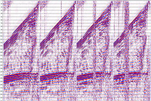
The Department holds digital copies of all available processed and reprocessed seismic data, and also the associated processing reports, with 2D lines that were originally submitted on paper or on sepia scanned into SEGY format. Many of the more recent 3D seismic surveys have multiple processed datasets, such as angle-stacks, azimuth-stacks, velocity volumes etc.. This collection is considered complete for all company exploration activities post 1975 and all data are published two years after the completion of the acquisition of the survey or the completion of the reprocessing of the data, as appropriate. ERD currently holds in excess of 80Tb of processed seismic data from 101 3D surveys and almost 14,000 2D lines, including those that lie in State waters or straddle the state’s borders.
A limited number of processed “workstation-ready” 2D and 3D seismic datasets have been made available for free and immediate download through the Department’s online data portal SARIG. Each dataset consists of the best available processed data volume - generally a filtered full-offset final migration – with the SEGY trace-headers modified so that the key information needed to load the data is in a consistent set of byte locations that are common to all workstation-ready volumes or lines.
Example processed time-sliced data can be inspected via SARIG. Processed data from over 70 open-file surveys in the Cooper Basin have been bulk-shifted to minimise mis-ties and then merged together to generate a series of geo-referenced time slices at 100msec intervals from 1 second to 2.9 seconds.
All processed 2D and 3D seismic data is available on request via DEM.petroleum@sa.gov.au. Minor charges are levied for this service to cover staff time and the cost of media and shipping.
The links below will open pre-prepared maps and tables in the SARIG data portal showing:


