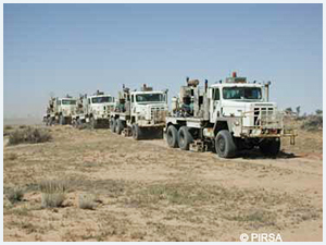
 The Department holds digital copies of all available field seismic data, along with acquisition reports and ancillary field data (e.g. observer’s logs, uphole data etc.). These are all published two years after the completion of the acquisition of the survey. ERD currently holds in excess of 80Tb of field seismic data from 101 3D surveys and almost 14,000 2D lines, including those that lie in State waters or straddle the state’s borders.
The Department holds data for approximately 48000 upholes associated with ~7000 seismic lines recorded between 1975 and 2012. These upholes are located in all of the main prospective areas of the state but are concentrated primarily in the Cooper-Eromanga Basin, Otway Basin, Officer Basin and Pedirka Basin. In addition to a set of time-depth pairs for each uphole, the metadata includes co-ordinates, seismic line and shotpoint location, date of acquisition and elevation.
The links below will open pre-prepared maps in the SARIG data portal showing:
- Location of 2D seismic lines with digital field data
- Surface outlines of all 3D seismic surveys
- Locations of uphole data
All of the above datasets are published on request from DEM.petroleum@sa.gov.au. A shapefile containing detailed shotpoint co-ordinate information is also available to industry and academia. Minor charges are levied for this service to cover staff time and the cost of media and shipping.


