
Seismic, MT, gravity and AEM data acquisition.
If you attended the online 2022 Exploring for the Future Showcase in August you would have heard that Geoscience Australia has been particularly busy in South Australia, with the assistance of the Geological Survey of South Australia.
Seismic data acquisition for the Darling-Curnamona-Delamerian (DCD) project has just concluded, including about 560 km of 2D active seismic data for deep crustal imaging in South Australia. This work will be used to map the geology and structure of the Earth up to 60 km below the surface. It will help determine the geological history of the region and may uncover potential for key minerals and metals, including copper, gold, lead, zinc and critical minerals.
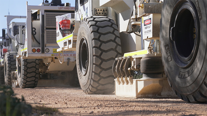
About 560 km of 2D active seismic data acquisition was recently completed in South Australia. (Courtesy of Geoscience Australia)
The DCD project is also deploying 14 ground-based magnetotelluric (or MT) stations about 100 km north of Renmark in order to map the electrical structure of the Earth’s crust, enlarging the University of Adelaide – AuScope Curnamona Cube MT model. These data complement the seismic and airborne electromagnetic (AEM) data gathered in the region, as well as providing clues to prospective locations for buried mineral systems.
An aerial gravity survey will be undertaken in the southeast of the state, between Port Augusta and Mount Gambier, later in 2022 and early 2023. This will help improve the national quasigeoid model, which is used for mapping ‘physically meaningful’ heights, satellite navigation, system surveying and geodesy more broadly. It will be a significant advance on the current ground gravity data coverage across the region and thereby aid geological mapping and mineral exploration.
Furthermore, 3,870 km of AEM acquisition has been flown in South Australia by helicopter as part of the DCD AEM infill. This will build on the Eastern Resources Corridor AEM flown in 2021 along the Queensland, South Australia, New South Wales and Victorian borders by adding higher resolution data across areas of interest. It also covers the recent MinEx CRC Delamerian National Drilling Initiative area at Alawoona with more detailed AEM data.
In other AEM news, the AusAEM Western Corridor survey is well underway in western South Australia (west of Cooper Pedy), with over 8,320 linear km planned. AusAEM is part of the Australia’s Resources Framework (ARF) project, which is also undertaking passive seismic monitoring across South Australia over 20 locations spaced about 200 km apart. Acquired data will be used in geophysical inversions to build thermomechanical Earth models that extend to depths of hundreds of kilometres and will also inform geohazard studies.
Over the past few months there has been a range of South Australia related outputs released from the Exploring for the Future program. The latest data and products are available by searching the Exploring for the Future website by project (Officer-Musgrave, DCD and ARF).
– Tony Steeper, October 2022
(This article is republished from Exploring for the Future September 2022 newsletter.)