
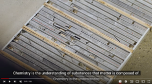
In 2020 the GSSA ran ExploreSA: The Gawler Challenge, a cutting-edge, crowd-sourced competition where participants delved into the GSSA's open-source treasure trove of geoscience data. Their mission — to dissect, analyse, and unveil hidden mineral exploration gems using a mix of traditional techniques, artificial intelligence and machine learning.
This competition shed light on the power and untapped potential of our data, but we also realised we needed to enrich our data landscape.
Enter Gawler Phase 2 (GP2): Next Generation Mineral Systems Mapping Project. GP2 wasn't just a project, it was a quest to acquire new geoscience data and breathe digital life into the legacy data of the Gawler Craton region. The goal — to de-risk exploration and support industry investment in South Australia.
Fast forward to today and the GP2 journey is complete. We've put together a treasure trove of new data and valuable information, as well as the entire post-project workshop. You can access all the outcomes below via one link to the SARIG Catalogue.
GP2 data acquisition
Data and publications
All of the data, publications and full outcomes workshop can be downloaded via the SARIG Catalogue.
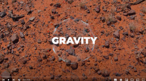
- gravity data
- AusAEM
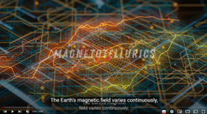
- magnetotelluric resistivity models
- geochemistry and lithology data package
- associated report books:
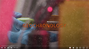
- Zircon LA–ICP–MS geochronological and geochemical results from the central-western Gawler Craton.
- Multi-isotopic apatite and zircon SHRIMP U–Pb geochronological results from the central-western Gawler Craton.
- Connecting the cover to the basement in the central-western Gawler Craton. Includes data package.
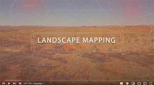
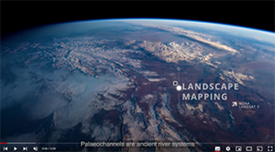
- Landscape pattern recognition map for the central-western Gawler Craton.
- Eucla Basin and peripheral paleovalleys.
A report book of extended abstracts based on the Western Gawler and Gawler Phase 2 Geoscience Insights Workshop presentations is available for download. These abstracts presented new data and insights on a wide range of topics including background to the project, new geophysical data, surficial processes, and basement processes.
All of the workshop presentations are available for viewing via the Energy and Mining SA YouTube channel.