
Building 3D geological models is crucial for understanding South Australia's geology and mineral resource potential. The 3D modelling process allows geoscientists to test the validity of geological assumptions or hypotheses and provide a mechanism to validate existing data while also highlighting gaps in knowledge and data within a project area.
These models can reveal patterns and relationships that are not evident in traditional 2D maps, by incorporating geological data from various sources, including surface geology, drilling programs, geophysical surveys and seismic data, and a variety of other datasets if available.
This information can be used for a wide range of applications, from resource exploration and environmental management to hazard assessment and geotechnical engineering, providing an invaluable tool for geologists to better understand and manage the state’s geological resources and hazards.
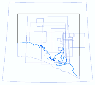
Project boundaries for available 3D models can be viewed and downloaded from the SARIG catalogue.
All 3D models can be examined using Geoscience ANALYST – a free 3D visualisation application suitable for viewing models created with SKUA-GOCAD.
Adobe Acrobat Reader can be used to view 3D models that have been converted to 3D .pdf format.